Global positioning system (GPS) has made travelling far more effective and easier. It is a network of satellites orbiting in outer space to provide you specifically with exact locations using coordinates. The connections made with satellites though GPS can give out the perfect location of people, objects, landmarks, scenic places, monuments and anything in the world.
It helps you get precise and accurate locations on the map of the earth about any corner of the world. It is also helpful in emergencies and helps you also track down your pets. It helps in mapping and surveying of a particular place. It provides directions to get to a particular place.
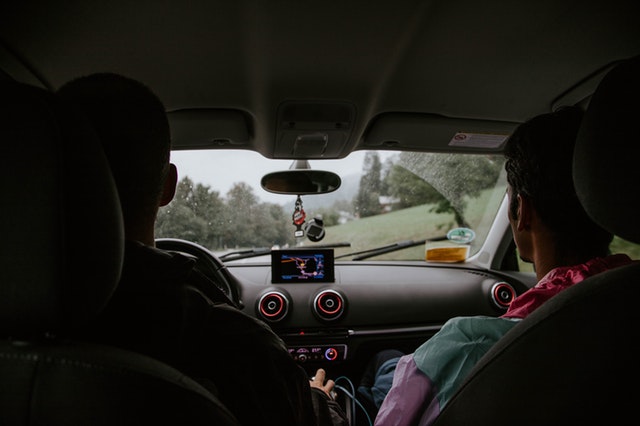
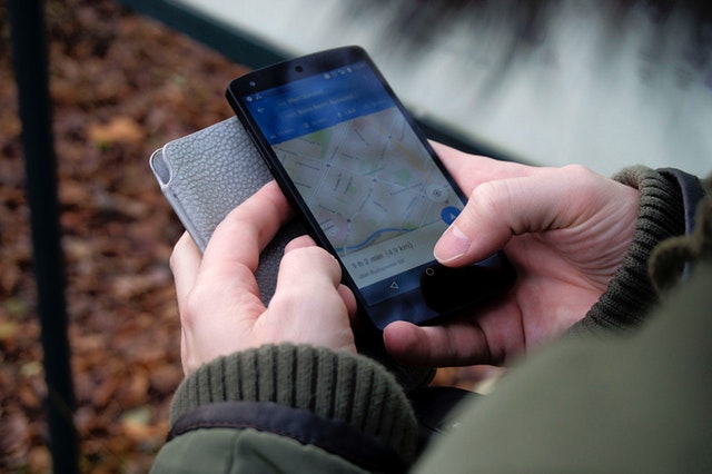
GPS alert system is available in devices specially made for it. They are now also available in smartphones, cars, aeroplanes and in various other forms of technology to help people.

How to use GPS properly while backpacking or on a trip –
- Always make sure before leaving for the trip that your GPS device is fully charged and functional and is set to use. Always keep fresh batteries handy just in case you might need to use it.
- A GPS will show you your position by showing coordinates on the map acting as your personal GPS S.O.S device.
- You can also turn on ‘tracking’ in your GPS device, through which the GPS will automatically track your movements and save them which will, in turn, help you in tracking or retracing your movement or path just in case you get lost or are not sure about the correct way.
- Keep a complete record of the landmarks of the place you are going to venture into so you do not get lost. Landmarks will help you make sure that you are going in the right direction. You can take help of your compass to check the locations of your landmarks and yourself.
- Make sure that you check your location from time to time. Take longer breaks if you are new or unsure of the path. This way it will be easier for you to turn back and take the right path as you will not be lost completely.
- GPS will also display the data of your trip showing things like how much distance you have travelled or covered or how many steps you have taken etc.
- To enable the satellite adjustment, go out in a clear space and wait a few minutes for the device to catch the signal. Even if you have turned your device off, the satellite connection will take a while every time you turn it back on.
- Always reset trip data so data doesn’t get mixed up and you can travel easily.
- If you are at a place like a dense jungle or big canyons where the sky is blocked, you will not be able to receive a signal with the satellite. So once when you wander out to a place where the sky is not blocked by anything and is clear, your device will try to establish a connection with the satellite again. It will take up a few minutes.
- You can already mark the path of your trail by inserting the co-ordinates when you are at home. When you actually set out on the trip, the distance will decrease as your destination comes closer.
- Calibrate or tune in your compass and altimeter (measures altitude) so the device can easily show you where you have headed i.e. in which direction and at what height you are. The instructions for the same are generally given in the devices.


